Location: San Francisco Bay Trail in Foster City, California
Length: 3 miles round trip walk
Time: about 1 hour
Date: April when the flowers are in bloom
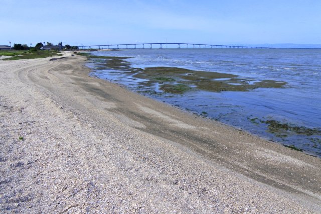
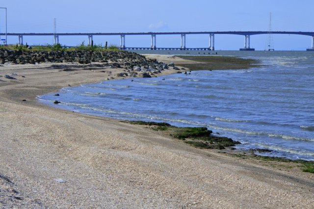
Foster City’s portion of the Bay Trail is beautiful during the spring when the ice plant flowers are in full bloom and adding a bright burst of pink and yellow to an already amazing bay view. At times this area does get very windy in the afternoons and evenings so be prepared. Also, if you can time your walk so that you are not walking along the bay during low tide, your views will be much nicer. For our walk, we decided to take the “beach trail” that parallels the bay trail for about 0.5 miles. We parked next to the newly built park on Beach Park Boulevard and started walking north (towards the San Mateo Bridge) on the Bay Trail. On google maps, this park is called “new park,” but there is a sign at the park now that says, Shorebird Park.

You can get to the beach trail either via the Belmont Slough Trail or the Foster City Sign Trail (see google maps). Neither trail has any signs, I found the trail names on google maps as I mapped out my walk later.
The trails are distinct dirt paths, the Belmont Slough Trail is curvy and passes by an intersting area of dirt mounds which kids were riding their bikes up and down on. Looked fun!The Foster City Sign trail is a straight path to the bay, I have to say I liked this way to the bay better.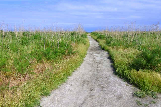


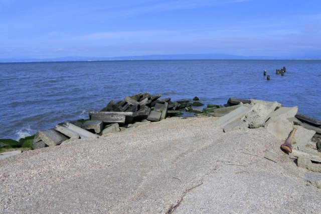
At various points on this beach trail you can walk back to the Bay Trail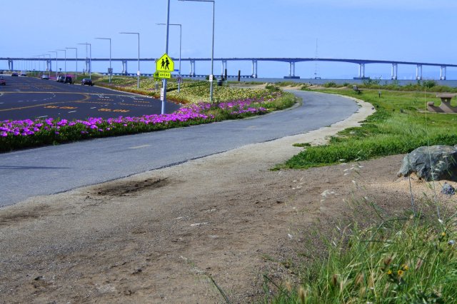


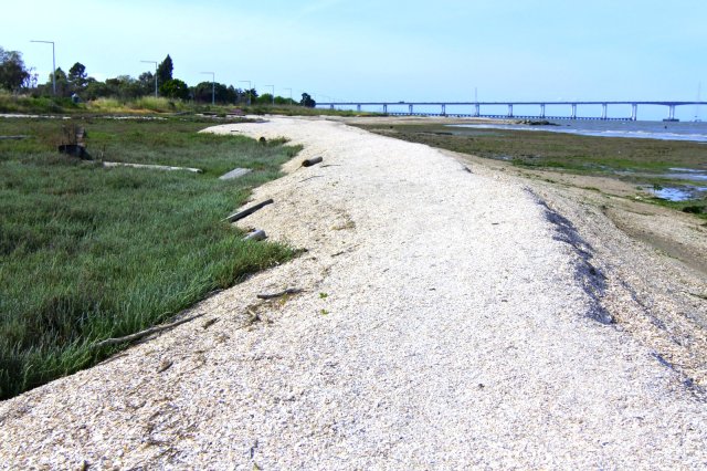

 After finishing walking along the beach trail (it dead ends into the Bay Trail) we continued heading north on the Bay Trail to the bridge for another mile and turned around. The Bay Trail is in a residential area, so the path parallels Beach Park Boulevard with houses on the other side of the road. However, the path is on an embankment so you feel like you are removed from the road.


I thought it would be worth mentioning a restaurant we went to after our walk, just down the street from where we parked, Sweet Basil Thai Cuisine (1473 Beach Park Boulevard). We have come here on a number of occasions and tried many of their menu items (all very good), but we keep returning for two dishes, their Fresh Salad Shrimp Rolls (beautifully presented and served with a warm peanut sauce) and Pumpkin Curry. So good after a walk by the bay!


New area to us. Well explained. Now I want Thai food. Maybe try sometime.
Sent from my iPhone
LikeLike
Hope you’re able to try it out someday.
LikeLike